Publication select ▼
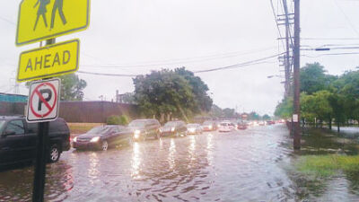
Shutterstock image
WAYNE COUNTY — Representatives from the Federal Emergency Management Agency will host a Flood Map Information Open House for communities in Wayne County, Michigan on the Wayne County Community College campus.
Experts at the open house will help residents understand flood risk and flood insurance, floodplain development regulations, and the mapping process. Residents can meet with experts one-on-one to view their own addresses on the new maps. They’ll learn about their specific risk and ways to help prevent flood loss.
The program will take place from 5-7 p.m. on Tuesday, Jan. 30, at the campus’ Frank Hayden Room, located at 1001 West Fort Street in Detroit
The open house was created to give residents a chance to review preliminary versions of the recently completed Flood Insurance Study report and its accompanying preliminary Flood Insurance Rate Maps.
The FIS and the FIRMs provide base flood — also known as the 1%-annual-chance event — information, designate areas that are subject to significant flood hazards within the county and offer information that public officials may use to guide development in the floodplain.
Once effective, the maps will be used as the basis for flood insurance ratings as well as local flood protection regulations adopted under the National Flood Insurance Program. FEMA encourages public officials to use the maps to assist planning processes and prepare communities to quickly respond to and recover from future events.
The organizers urged property owners, realtors, lenders, and insurance agents to take advantage of this opportunity to learn more about flood risk and hazard mitigation within their community.